Picturing 15 homes per acre
In 2021, Massachusetts required 177 municipalities to rezone land within a half mile of transit service to allow 15 homes per acre by right. These cities and towns in the Boston area are served by the Massachusetts Bay Transit Authority (MBTA).
Some of the communities are getting public pushback on this density, which has the potential to add significant housing within walking distance of transit. For example, redeveloping even 10 percent of strip malls, many of which are struggling, could fulfill the region’s multifamily needs for a decade.
In Milton, a town of about 28,000 bordering Boston to the south, residents in February voted to overturn an MBTA Communities zoning plan that had already been approved at a town meeting, according to the Lincoln Institute of Land Policy. This puts the community in direct violation of the law.
“Some residents and local officials characterize the law as state overreach — even calling it an ‘invasion’ — while others have lodged familiar complaints about ‘neighborhood character.’ Whether the objections are political or personal, they’ve gained traction in a few holdout communities,” the Institute reports.
The pushback may result from the public’s misunderstanding of this density level’s meaning to communities and everyday life. “Some of that resistance no doubt arises from a wariness of change — and ‘homes per acre’ is an unfamiliar, abstract concept for many people,” the Institute explains.
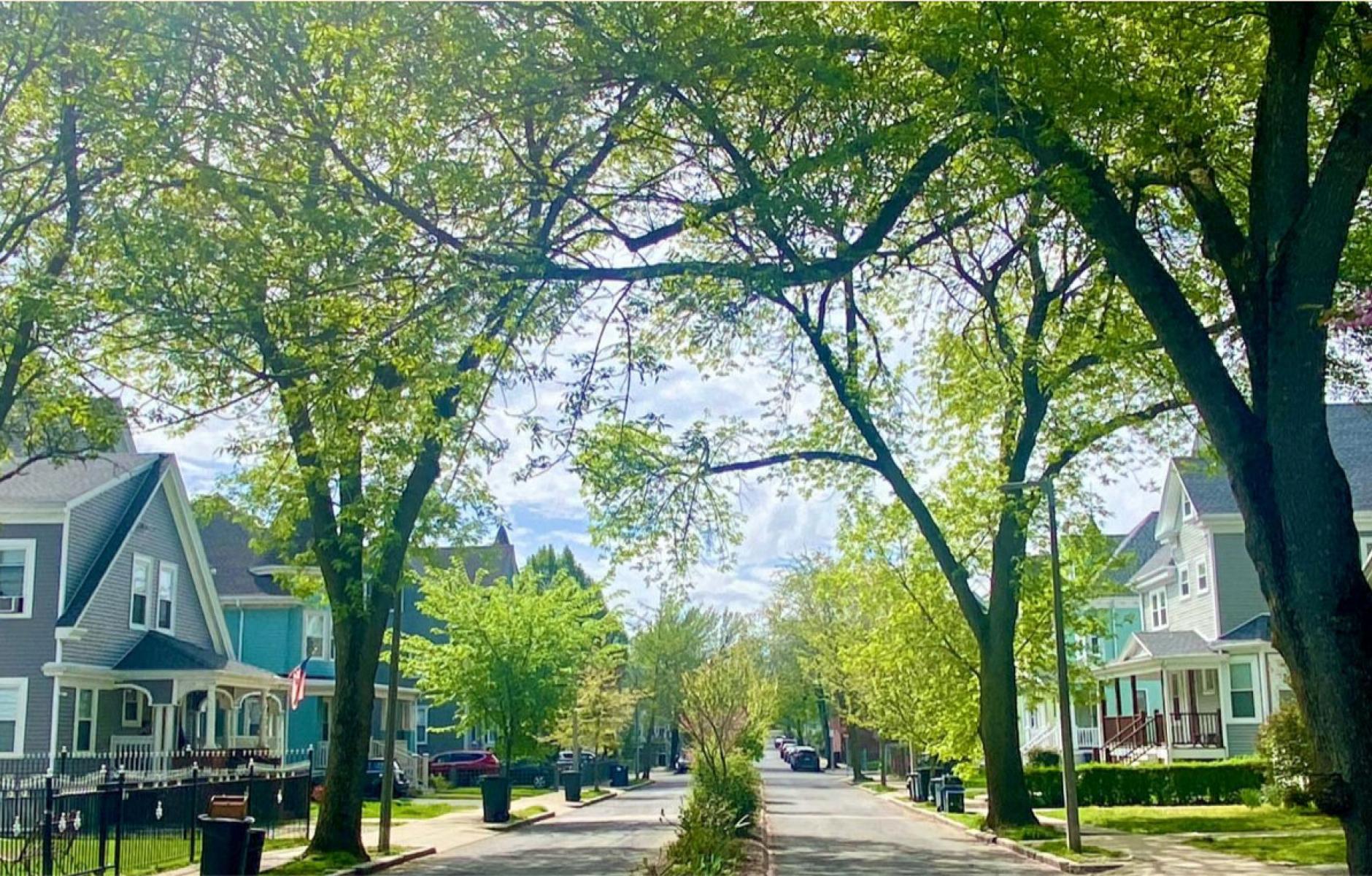
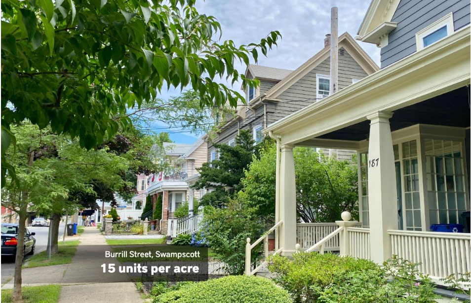
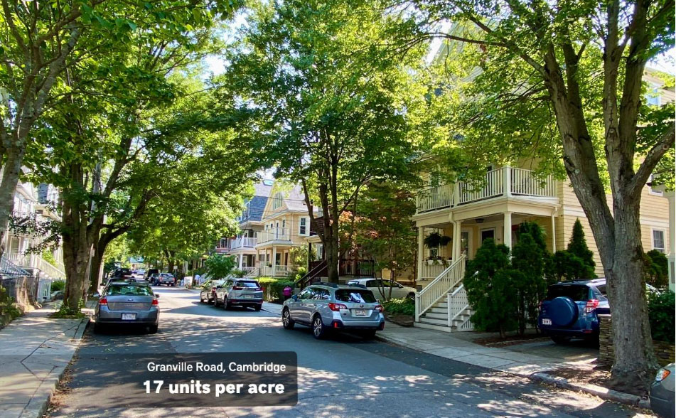
To help, the Institute has created a “StoryMap” that “explores what the metric looks like in the real world, with photographs of street scenes around Greater Boston where the gross neighborhood density is currently about 15 homes per acre or more.”
These images below show that traditional single-family neighborhoods, with some missing middle mixed in, can easily reach 15 units per acre. The key is to design walkable places with various low-rise housing types.


