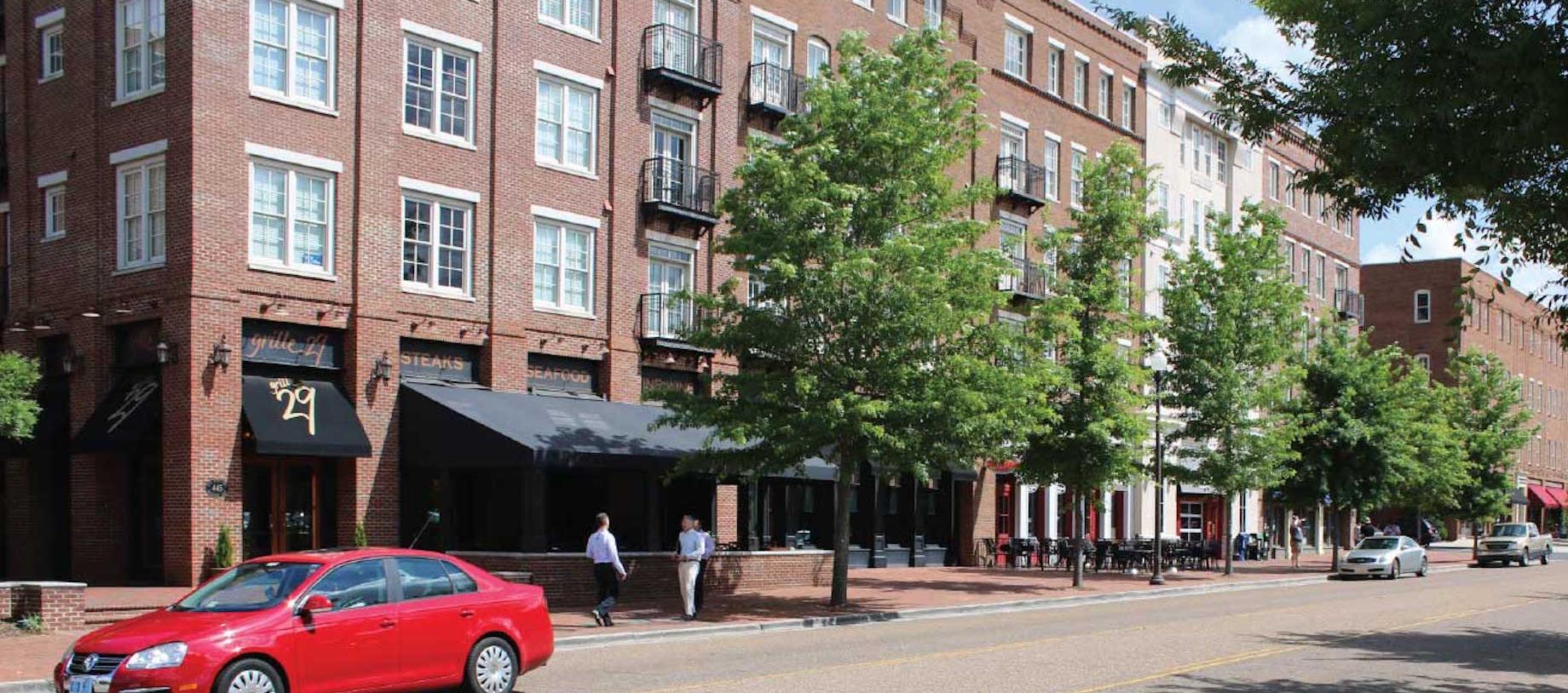
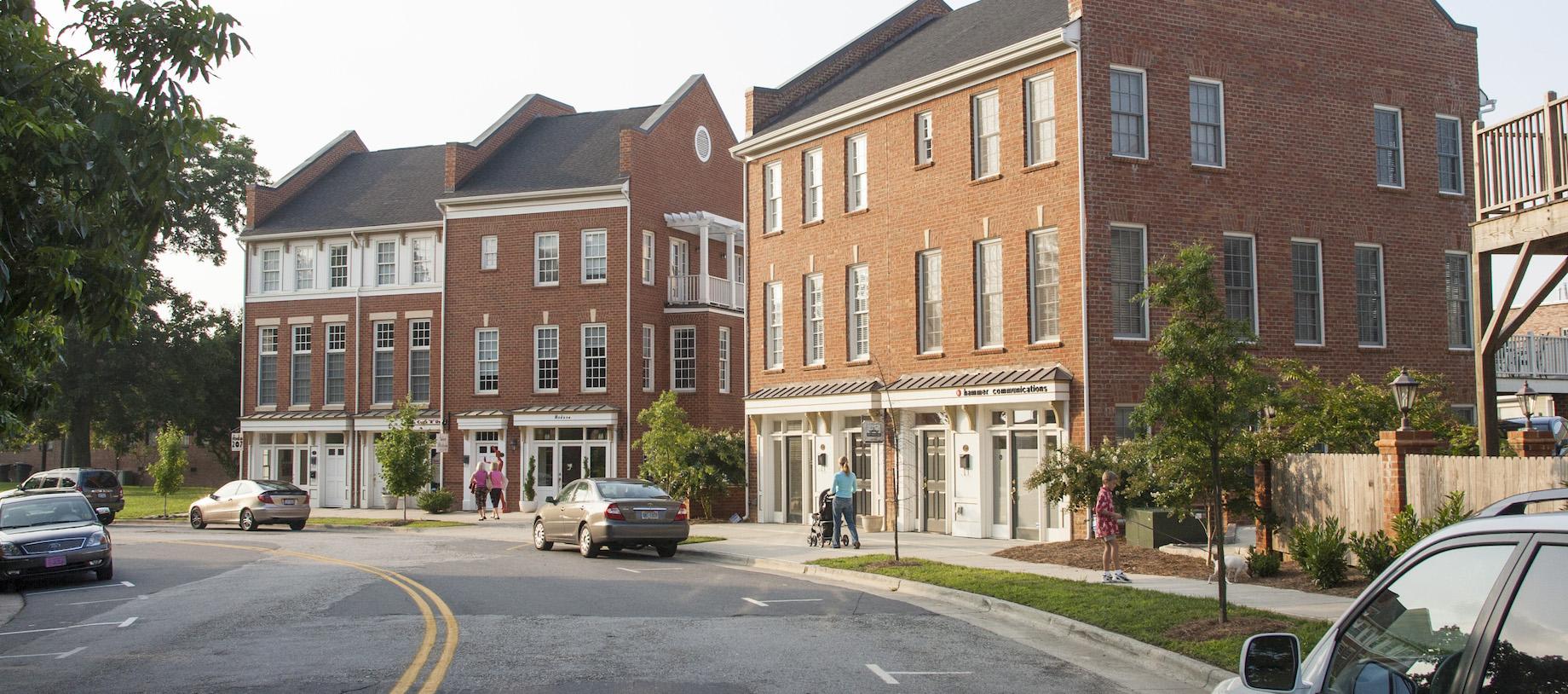
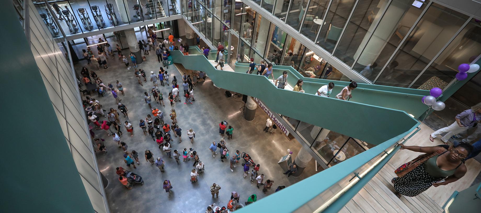
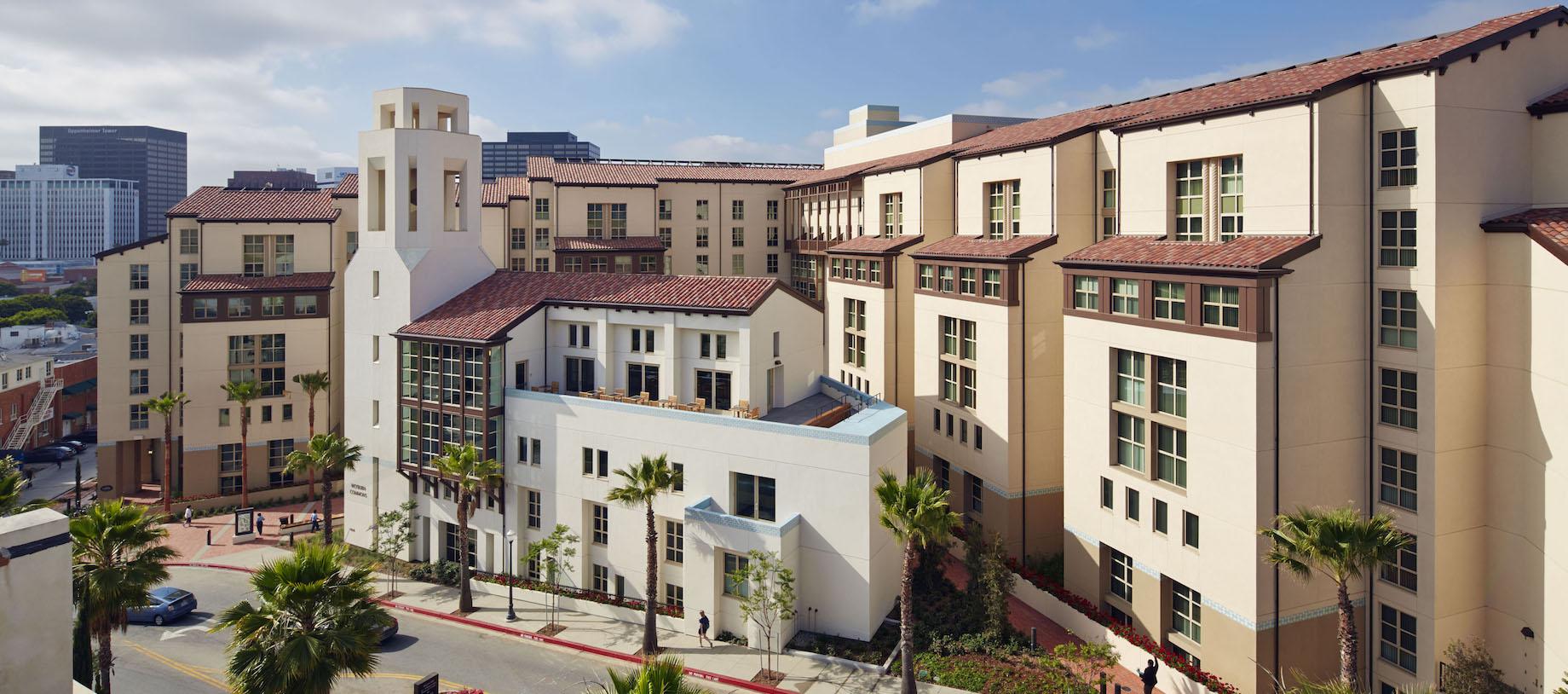
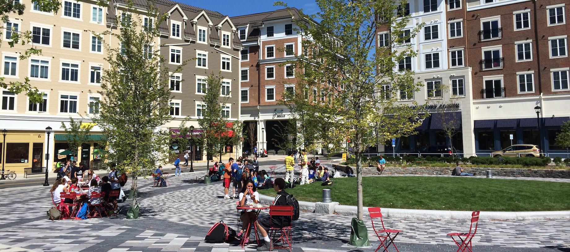
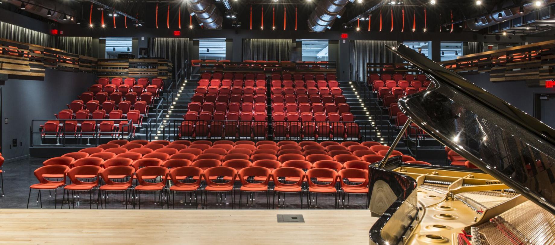
Each year, in conjunction with its annual Congress, CNU invites municipalities and neighborhood organizations within the Congress's host region to apply for pro-bono technical assistance from leading urban design firms. Each expert-led Congress Legacy Project is aimed at empowering local leaders, advocates, and residents in underserved communities to implement New Urbanist principles that help people and businesses in their communities thrive. Through public engagement and collaboration, CNU’s Legacy Projects strive to demonstrate the power of great urban design beyond the boundaries of each selected community, and targeted communities experience both short-term progress and long-lasting momentum.
Find out more about CNU Legacy Projects below. (Click each Congress name to see project goals, players, outcomes, and reports).
Interested in offering design services for CNU's Legacy Projects? Submit your information!
Congress Legacy Projects
Providence Hospital District Vision Plan - Providence, RI
Project goals: The goal for the Providence Hospital District Vision Plan Legacy Project is to establish a shared vision for the redevelopment of underutilized land in Providence’s Hospital District to reconnect the area with the Southside of Providence, unlock community development and economic opportunity, and improve public and environmental health. A Legacy Project would address the heat island effect, storm water management challenges, and unpleasant pedestrian experience caused by the current volume of pavement. Conservative buildout estimates also indicate the Hospital District's surface lots have the development capacity for nearly 5,000 housing units.
Project players: The project was led by DPZ CoDesign in partnership with the City of Providence’s Department of Planning and Development, Providence Redevelopment Agency, South Providence Neighborhood Association, and Trinity Square Together. Zimmerman/Volk Associates (ZVA) has also provided this Legacy Project with an analysis of residential market potential for newly-introduced rental and for-sale housing units that could be developed within the Hospital District over the next five years. Urban3 has provided this Legacy Project with municipal economic analysis..
Connecting with Hope: A Plan to Revitalize Hope Village - Scituate, RI
Project goals: Create connectivity within a walkable village with easy access to points of historic interest and nearby public open spaces along the upper Pawtuxet River. The Legacy Project will improve traffic patterns for safety and easy access to village amenities as well as the creation of parking areas to accommodate visitors. Connectivity planning would result in a village design that would enhance the current activities and promote the growth of small businesses within the village and other businesses that support local recreation.
Project players: The project was led by Historical Concepts in partnership with the Scituate Land Trust, Hope Associates, Scituate Emergency Management Agency, Hope Village Overlay, ad hoc resident committee, and Town of Scituate. Zimmerman/Volk Associates (ZVA) has also provided this Legacy Project with an analysis of housing in the area..
Love the Ave District - New Bedford, MA
Project goals: This Legacy Project would focus on the continued revitalization of a traditional historic commercial corridor and nearby development sites within a neighborhood with a uniquely multicultural and immigrant population, addressing issues of underutilization, disinvestment, local economic development, public realm improvements, neighborhood safety and district identity. Two nodes of vacant and underutilized industrial brownfield sites which bookend a neighborhood park and future riverwalk trail could also benefit from a visioning exercise and a feasibility analysis to fully explore their redevelopment potential.
Project players: The project was led by Street Plans and Arup in partnership with the Department of City Planning (DCP), Love the Ave Partnership, Groundworks Southcoast, the Cape Verdean Association of New Bedford, and Southcoast Community Foundation.
Xenia Hub District Revitalization - City of Xenia
Project goals: Located north of Cincinnati, close to Dayton, the City of Xenia has its sights set on bringing new life to its Xenia Station. A former hub of freight and passenger rail service, surrounded by rail-oriented industrial properties, the City has a vision for a trail-oriented entertainment district to serve the rising demand for hospitality, retail, bars, and restaurants. The conversion of its rail network into a robust trail system, paired with the growth of the nearby Wright-Patterson Air Force Base, a proposed Honda EV Battery Plant, and developer interest in key sites adjacent to the City-owned Station are key strengths for the desired revitalization strategy to build on.
Project players: This project will be led by Opticos Design in partnership with the City of Xenia.
Project outcomes: The Hub District masterplan was created with input from community feedback received throughout the design process. The ultimate goal of the plan is to establish the Hub District as a vibrant mixed-use neighborhood and create a variety of housing and recreational opportunities. In addition to the illustrative masterplan, alternative housing schemes were developed to show a greater intensity of housing that may be appropriate or desirable for financial viability. Each component of the masterplan is aligned with a particular Hub District strategy identified in Xenia's Comprehensive Plan. Read More
Project news: The Ohio APA recently recognized this 2024 CNU Legacy Project and the plan is moving forward on multiple fronts. Read More
Camp Washington Business District - Cincinnati
Project goals: The Camp Washington Urban Revitalization Corporation has been selected to receive support towards their desired Business District Vision and Strategic Plan. Years-long efforts have fostered the Made in Camp mantra that celebrates the industry, artistry, and community that makes up the Cincinnati neighborhood. Recent collaborations have brought momentum toward the strategic revitalization of Camp Washington’s swath of vacant industrial properties. The community now aims to leverage these efforts and proactively guide anticipated growth and development with strategies that reactivate the neighborhood’s business district.
Project players: The Camp Washington project will be led by Arup's Master Planning and Urban Design practice, supported by Street Plans and Perkins&Will, as well as staff from the Camp Washington Urban Revitalization Corporation (CWURC).
Project outcomes: The Camp Washington of the future will be an inclusive, mixed-use neighborhood comprised of an increased number of residents, a dynamic light manufacturing sector, and affordable spaces for makers and artists to practice and apply their crafts. The neighbohorhood will be better connected to the rest of the city with increased walking, cycling, and transit connections and provide a unique and authentic walkable main street experience along Colerain Avenue.
Amelia Neighborhood Node - Pierce/Batavia Townships
Project goals: A vision plan for the Amelia Neighborhood will be developed as part of a multi-jurisdictional partnership between Pierce and Batavia Townships. Amelia had been its own municipality until 2019, when residents voted in favor of a Village Dissolution Referendum. The Amelia community and its Main Street (SR 125) is now split between the two townships. With a number of Main Street properties being publicly owned, the Townships are seeking a Design and Implementation Plan that will help to establish a vibrant, walkable node within the exurban environment and, in the process, set a new precedent for successful collaboration amongst these community leaders.
Project players: This project will be led by ZoneCo in partnership with both Pierce Township and Batavia Township.
Project outcomes: Upon first blush, this project appeared to be a project that would focus on preserving existing buildings and contextual infill to knit together a walkable urban environment. After walking the study area and talking with stakeholders, it is apparent that leading with the built environment is not the best first approach. Rather, leading with green-spaces and ways that create a amenity-rich, safe, pleasant, pedestrianfriendly environment will lead to increased demand and would have the best chance of creating the economic environment that would allow for the type of development that the townships desire. Ohio Pike becomes the vehicular bypass to one of the most pedestrianfriendly environments in Clermont County. Read More
Norwood Connectivity - City of Norwood
Project goals: Norwood Together, in collaboration with the City of Norwood, is eager to embark on a planning and design process that will help to connect new and existing community destinations. Norwood is home to Xavier University, the regionally-serving Rookwood Shopping Center, and the recently opened Factory 52 redevelopment that turned over 20 acres into a new mixed-use gathering place. Concepts and strategies for a cohesive multi-use network will not only help to connect these destinations and expand on the Cincinnati CROWN-Wasson Way regional trail system, but the pedestrian-scaled routes will also help to stitch together Norwood’s four wards that are currently divided by arterial roadways.
Project players: The project will be lead by Stantec's Urban Places in partnership with the City of Norwood and Norwood Together.
Project outcomes: This plan emphasizes multimodal connections with the destinations that Norwood residents visit most often, beginning with city parks, schools, grocery stores, or the Wasson Way Trail. With help from partners and charrette attendees, they were able to map most of these destinations in parallel with significant barriers to mobility. Major highways divide Norwood into four distinct districts (wards. Working collaboratively with those who cross these barriers on a daily basis was critically important to identify these significant crossing locations, where potential improvements for visibility, safety, speed reduction, or similar investments infrastructure may yield the most benefit. Read More
Healthy Highland
Project goals: Design a dense development that encompasses ground level space for Really Amazing Meals with Soul (RAMS) Kitchen and a fresh food market to address the lack of food access in the Highland Community. The development would also offer additional commercial space for businesses significant to residents in Highland to occupy. Lastly, the development would create rental housing opportunities above that appeal to multi-income, multi-generational and culturally diverse residents.
Project players: Kintegra Health, Derrick Harris (private property owner), Shook & Kelley, Fabric[K] Design
Project outcomes: Fueled by its passion and commitment to see the community reach its full potential, Kintegra Health, the Highland Neighborhood Association and collaborative partners will undertake the development of a socially impactful mixed-use development to permanently house RAMS Kitchen. The project will create a virtuous cycle of mutual benefit and serve as the impetus for a broader urban development strategy to counter the unavoidable challenges brought on by gentrification. Read More
University City Partners
Project goals: UNC Charlotte, the second largest university in the state of North Carolina, does not have an identifiable place for students, alumni, supporters, faculty and recruiters to enjoy like so many other major universities. A student main street instills pride in the institution, nostalgia and invites the community at-large to engage with the school through celebration and cultural development.
Project players: University City Partners, University of North Carolina at Charlotte (UNCC), Perkins + Will, Street Plans
Project outcomes: A phased mixed-use development with hopes to create improved connections to the UNCC campus by linking uses, modes of travel, the campus, students, alumni, and create a sense of community and public space for gathering. Read More
West Boulevard
Project goals: To transform the corridor along West Boulevard by improving the pedestrian realm and tying it all together with a greenway/rail trail system through innovative design of intersections. Goals also include creating implementation strategies of master planning to activate key properties for neighborhood uses which incorporate community stewarded amenities for health and wellness, a fresh food ecosystem and a thriving small business economy for local entrepreneurs.
Project players: West Boulevard Neighborhood Coalition and Torti Gallas
Project outcomes: A site design of how to activate a parcel currently owned by the West Boulevard Neighborhood Coalition that will act as a catalyst for development of the Three Sisters Market as a co-op grocery store. Read More
Global District, Tulsa
Project goal: The Tulsa Planning Office is aiming for Main Street revitalization plan for one of the most demographically diverse areas in Tulsa. The District is characterized by suburban-style development with many large parking lots. The design goals include traffic calming, better use of public space, and promoting land-use opportunities to create a more walkable community.
Project players: Tulsa Planning Office on behalf of the Destination Districts Program with support from the City of Tulsa, Global District, INCOG, and Yard & Company.
Project outcomes:
The program for this effort included three components: activation of a newly created Nam Hai Square; facilitating a Global District Board of Directors retreat to chart a course for its internal operating system; and to learn from these two experiences to create a 12-month road map for the District.
Watch Yard & Company's video about the Nam Hai Square activation and the strategic plan: Watch Video
Jewel Theatre
Project goals: The goal of this project is to restore and preserve the Jewel Theatre, a rapidly deteriorating cultural asset, and an additional 1.4 acres of abutting property in Oklahoma City. The Jewel Theatre sits on a once-booming, Black-owned commercial district along Northeast 4th Street within the historic Deep Deuce neighborhood. Since its prime during the 1940s and 1950s, urban renewal displaced much of the community and led to disinvestment, with many empty lots and a few historic buildings.
Project players: Open Design Collective has partnered with Arthur Hurst (owner of the Jewel Theatre), Presbyterian Health Foundation (abutting 1.4-acre property owner), Councilwoman Nikki Nice, and the Alliance for Economic Development of Oklahoma City. Technical assistance provided by Concordia LLC.
Project outcomes:
Based on a 3-day pro-bono exercise centered on Concordia’s iterative community engagement and planning process as well as the guidelines laid out by The Congress of New Urbanism, the community was able to prioritize program recommendations arranged into categories of change that should either be accelerated, cultivated, or created.
Watch the promotional video Concordia created to accompany the community engagement meeting: Watch Video
UPDATE: Due to the various recommendations for shelter-in-place and restrictions on non-essential travel related to the outbreak of COVID-19, the CNU 28.Twin Cities Legacy Projects have been postponed. New dates will be announced once regular business travel has resumed.
Little Mekong Market and Shipping Container Park
- Sponsor: Asian Economic Development Association
- Location: St. Paul, University Avenue between the Frogtown and Rondo Neighborhoods
- Background: The Little Mekong Market and Shipping Container Park project aims to heal decades of asset extraction and disinvestment in St Paul’s Frogtown and Rondo neighborhoods, two communities challenged with some of the region’s most concentrated and persistent poverty. Racially motivated financial and planning practices, including the development of I-94 from 1956 to 1968, severely impacted both neighborhoods, displacing African American families and businesses, leading to vacancy and abandonment. In the decades since, Southeast Asian refugees and immigrants, drawn to the affordable housing and vacant commercial space of the neighborhoods, began to spark their own revitalization. Yet the foreclosure crisis of the mid 2000s stalled the budding economic prosperity of the University Avenue corridor.
- Goal: Transform an underutilized building and parking lot into a multi-level green sustainable SE Asian cultural-themed indoor and outdoor market, shipping container park, and small business incubator.
District del Sol Viaduct Placekeeping and Commercial Redevelopment
- Sponsor: West Side Community Organization
- Location: West Side, Saint Paul
- Background: Saint Paul’s District del Sol is the heart of the West Side, and despite a vibrant local community, it has suffered disinvestment and vacancy in recent decades. From 2004-2014, more than 40 businesses closed and in the last 20 years, less than 5 percent of discretionary Saint Paul STAR funds were spent in the neighborhood. WSCO seeks to change that trajectory and create a vibrant and thriving neighborhood for all by improving the pedestrian experience and the public realm, and redeveloping a particularly challenging intersection in the neighborhood.
- Goal: Develop a preliminary plan for placemaking / placekeeping, pedestrian improvements, and redevelopment priorities within a small but highly-visible commercial node.
Portland Gateway
- Sponsor: Cities of Bloomington and Richfield
- Location: Suburbs of Minneapolis
- Background: The Portland Gateway straddles I-494, serving as a major point of entry to two neighboring suburbs located south of downtown Minneapolis. Auto / strip development dominated the growth of the two suburbs from 1950 -1970, which are now the focus of revitalization efforts.
- Goal: Transform an aging commercial area into an attractive gateway serving both cities and neighborhoods, enhancing connectivity between the businesses and neighborhoods on either side of I-494. Taming the intersection of Portland and I-494 so that it is more pedestrian-friendly and catalyzes revitalization efforts of the underutilized commercial sites along Portland.
Chicago and Lake Mobility Hub
- Sponsor: Metro Transit
- Location: Phillips-Midtown neighborhood of Minneapolis
- Background: The Philips-Midtown neighborhood is an important commercial and healthcare hub, and one of the most diverse neighborhoods in the city. The intersection between Chicago Avenue and Lake Street is the epicenter of this activity, and planned BRT lines and other transportation investments provide an opportunity to capture the input of residents and build a mobility hub that intentionally connects the transit opportunities (planned and existing) with the needs of the neighborhood.
- Goal: Develop a preliminary design for a mobility hub that enhances connections with the existing multi-modal network and recognizes, preserves, and reflects the cultural assets and fabric of one of Minneapolis’ most vibrant neighborhoods. Build a replicable model for other mobility hubs in Minneapolis and across the region.
Final products from this process will be presented at the CNU 28.Twin Cities opening plenary in Saint Paul on June 10, 2020. In addition, the results will be presented in sessions open to the public on Saturday morning, June 13, 2020.
Restoring and Reimagining Woodlawn Avenue
Project goal: Develop a vision for the commercial corridor that incorporates Woodlawn Avenue’s significant history into its diverse future. With heavy input from the community, the plan will focus on the restoration of the corridor with a uniquely multicultural and immigrant population, addressing issues of vacancy, decreased investment, local economic development, and neighborhood identity.
Project players: Sponsored by the Center for Neighborhoods, the project will also have heavy involvement from the Beechmont Avenue Neighborhood Association. National firm PlaceMakers LLC will be facilitating the development of the plan, along with other experts from the field including DPZ, and local firm WorK Architecture + Design.
Project outcomes:
Incorporating in-depth feedback from the community, the team developed a concept for a new, inclusive neighborhood identity for the corridor: World on Woodlawn (WOW), recognizing the diverse immigrant population.
Retail analysis and community input also revealed a deep need to support local businesses to capture additional demand and improve the district’s sales through tactics such as expanding operations and marketing; improving business management; expanding parking; updating store fronts; increasing signage; etc.
Other major takeaways include the need to:
- Reuse historic buildings - incentivizing this through a facade improvement program; changes to zoning code that strengthen the frontage, signage, and design requirements for properties; improvements to the streetscape; and other tactics.
- Encourage small-scale development to improve the successes of the corridor - pop-up activation of properties and space (beer garden, etc.); improvements to the Iroquois manor, post office, and Cocoberry Pops properties.
- Enhance connectivity and pedestrian safety - including a new Alley Crosswalk on Woodlawn, implementing new design recommendations for Southern Parkway.
Connecting Beargrass Creek
Project goals: Create a cohesive vision for physical connectivity along and adjacent to the South Fork of the creek, from the Louisville Zoo to the Ohio River - nearly 7 total miles - through a diverse swath of neighborhoods. Develop a human-based narrative, storytelling and educational spaces that will develop an emotional connection for residents and visitors to the creek system with a focus on water quality, flooding, imperviousness, and regional ecosystem. Develop a ‘playbook’ of strategies to implement the vision described above - as well as suggestions for small-scale pilot projects that could raise awareness and quickly test the ideas.
Project players: Sponsored by the Kentucky Waterways Alliance, national firm Gresham Smith will lead the project from its Louisville office.
Project outcomes:
Gresham Smith focused on developing big ideas that could be based on incremental improvements - using small steps to get to a big place. Some incremental steps that could make an immediate impact on the creek include: building turtle ramps, building a pop-up kayak launch, making a podcast tour of the South Fork, educational partnerships, native broadcasting, and tactical urbanism projects.
The bigger vision for improving connection to the creek, the health of the creek, and destinations along the creek include green infrastructure improvements and water management techniques at Joe Creason Park and Black Crown Forest. Additional ideas for new projects include building a kayak launch and park infrastructure along Eastern Parkway; building a parklett along Ruffer Avenue; developing a “three bridges” concept near the intersection to of Oak and Schiller to bring awareness to the creek’s presence at that intersection, among other improvements.
The 18th Street Corridor Revitalization
Project goal: Successfully engage residents that may be weary of planning initiatives as well as other local stakeholders to develop a cohesive vision for the corridor. Incorporate this planning effort into other heavy investment in surrounding areas including the targeted accumulation of properties by Louisville Metro and nonprofit actors, and a federal Choice Neighborhood Initiative in Russell.
Project players: Sponsored by OneWest, a relatively new organization active in revitalization efforts in the West End, the project saw heavy planning involvement from Louisville Forward. National firm Urban Design Associates will facilitate these efforts with help from other national firms including Zimmerman-Volk Associates.
Project outcomes:
Heavy community engagement brought nearly 100 participants from the Russell neighborhood into this process to develop a cohesive vision for the corridor. The community was engaged in doing a SWOT-style analysis to understand opportunities and areas for growth in the neighborhood, which guided the team’s plans to focusing on the intersection of 18th and Muhammad Ali and the neighborhood gateway at West Broadway.
The plan included improvements the streetscape, pedestrian infrastructure along with potential uses, including markets and community gathering spaces and a focus on what can be done in the immediate term (18 months - three years), focusing on the 18th and Muhammad Ali intersection.
East Portland Connectivity Project
Project goals: Develop a complete-streets approach (e.g., designed for walking, biking, and transit along with cars, where cars are not the central mode being catered to) to the West Main and West Market Street corridors between Downtown and the Portland neighborhood that provides an increased sense of place in the area through wayfinding. Explore ways to deliberately connect the Louisville Waterfront Park Phase IV with surrounding neighborhood fabric. Identify opportunities for public space and green network extending east and west. Develop a short-term intervention action plan to test two-way streets on Main Street. Strategic plan to promote and restore authentic character of the corridor.
Project players: Sponsored by the Louisville Downtown Partnership and organized by the University of Louisville Urban Design Studio, planning for the project also included heavy involvement from Louisville Forward and the Waterfront Development Corporation. National firm Street Plans Collaborative will facilitate these efforts.
Project outcomes:
Though dealing with an area of town that has much less of a residential presence, the team still leveraged local knowledge through community and stakeholder engagement.
The resulting plan for the East Portland Loop connects Main Street to the East Portland neighborhood and the waterfront park through a series of interventions in the street that create a pedestrian friendly “loop” from 10th and West Main to 15th Street and the current bike path along the waterfront.
The interventions include removing some of the street area that is dedicated to cars, sharing the uses with pedestrian and bike infrastructure, making improvements to the frontage of the existing businesses and testing new uses for underutilized property, and creating a linear park along W. Main that reclaims of the auto-orientation of that corridor. Additional ideas include: developing an ‘art park’, adaptive reuse of older buildings along Main Street and throughout the district, improvements to Triangle Park, intersection fixes, and improvements to frontage and lots.
Southside Savannah
Creating a Mixed-Use, Walkable Hub
Local residents, and community stakeholders partnered with designers to create a long-term vision for establishing a vibrant, sustainable, mixed-use and walkable hub on the City’s Southside, with opportunities for education, housing, jobs, entertainment, and access to multiple modes of transportation.
Read the final report.
Press
- Congress for New Urbanism Calls for Community Participation
- City leaders are planning big changes to Savannah's Southside
- Design efforts emphasized quality of life in neighborhoods beyond downtown
- Calls to Action: Waters Corridor, Southside suburbia, and the Tomochichi Annex
- Architects set vision for Savannah’s south, east side neighborhoods
East Savannah
Articulating a Shared Design Vision and Strategy for the Waters Avenue Corridor.
A three-day, publicly engaged design meeting to create an economic development district for Waters Avenue and address transportation connectivity, housing, and services. The goal was to make the neighborhood a purpose-built community.
Read the final report.
Press
- Design efforts emphasized quality of life in neighborhoods beyond downtown
- Calls to Action: Waters Corridor, Southside suburbia, and the Tomochichi Annex
- Architects set vision for Savannah’s south, east side neighborhoods
Brunswick, GA
Norwich Corridor: Creating New Opportunities in a Coastal Georgia Town
To work with residents to revitalize a 21-block stretch of the commercial Norwich Corridor in coastal Brunswick, Georgia.
Read the final report.
Press
Seattle Central Area
Identifying Essential Elements of Character to Reflect in Design Guidelines for Seattle’s Central Area
Through a series of community engagement the Seattle Central Area Legacy Project developed recommendations to aid the creation of Neighborhood Design Guidelines for the neighborhood.
Read the final report.
Press
Tukwila, WA
Tukwila International Boulevard: A Rising Neighborhood
To build upon and further kick-start placemaking and redevelopment efforts along the Tukwila International Boulevard, the “TIB Neighborhood Rising” Legacy Project explored opportunities to transform the corridor while preserving and leveraging local multicultural assets.
Read the final report.
Press
Hazel Park
Creating a walkable and connected downtown for Hazel Park
This report outlines a strategy for the transformation of 2 miles of John R Road between 10 Mile Road and 8 Mile Road, in the city of Hazel Park, Michigan. This stretch of John R Road serves as the city’s main thoroughfare, with the majority of the road zoned for local business use. Over the past 50 years, this corridor has deteriorated due to rampant sprawl and disinvestment even as it bears the potential to become the civic and communal heart of the city.
Read the final report.
Press
- Hazel Park hot on developing downtown, seeks community views at workshops
- A main street makeover for a first-ring suburb
- Hazel Park CNU24 Legacy Design Project is Inspiring
- Getting Millennials Interested in Local Government
Vernor Crossing
Building affordable and market rate housing in Southwest without displacement
This report investigate opportunities for new affordable and market rate housing and public space without displacing existing residents in Vernor Crossing, a neighborhood in Southwest Detroit. The study area, focused at the intersection of Livernois Avenue and Vernor Highway, consists of several blocks of commercial and residential buildings and is anchored by the 60,000 square foot Detroit Public Works Building.
Read the final report.
Press
- Spurring investment in an immigrant neighborhood
- Envisioning a Revitalized Vernor Crossing
- Healthier neighborhood is key to healthier community
Grandmont Rosedale
Making Grand River Avenue more walkable, bikeable, and accessible
This report outlines a plan that is designed to build on the city’s momentum and suggests ways to overcome barriers to making Grand River Avenue more walkable and bikeable. The plan also offers transferable lessons to towns and cities throughout the State of Michigan and beyond who struggle with balancing transportation infrastructure and urbanism.
Read the final report.
Press
City of Pontiac
This report outlines practical steps to immediately begin revitalizing Downtown in the following month and in the next year. Longer terms aspirations are also been identified that can be worked on now and progressed over the next decade and beyond.
Revitalizing downtown Pontiac through transit-oriented development
Read the final report.
Press
Old Town Burleson
The Legacy Project in Old Town Burleson identified incremental recommendations to opportunities to redesign Renfro Street, developing city-owned properties, and building gateway features announcing the neighborhood’s entrance.
Read the final report.
Garland
The Legacy Project in Garland identified incremental recommendations to revitalize the Old Embree Neighborhoods.
Read the final report.
Fort Worth
Building on the success of the 2007 Six Points Urban Village Master Plan, the Legacy Project in Fort Worth planned for Complete Streets, mixed uses, a parking strategy, and an implementation strategy to accommodate and encourage future growth.
Read the final report.
National Legacy Projects
In July 2017, CNU worked with Farr Associates to bring a tactical urbanism project to the Chatham neighborhood of Chicago. In partnership with Chicago's 6th Ward Alderman Sawyer, the Greater Chatham Initiative, Chatham Business Association, Special Services Area #51, and the City of Chicago Planning and Development Department, and with funding from the Richard H. Driehaus Foundation, this Legacy Project temporarily transformed several blocks of Chatham's commercial district into a people-friendly place of parks, plants, and music.
The project was so popular that the neighborhood sought, and was granted, a permit extension to keep the "parklets" created in parking spaces through the end of the summer. The effort also contributed to a fresh view of the commercial district's possibilities and greater community pride and connection.

