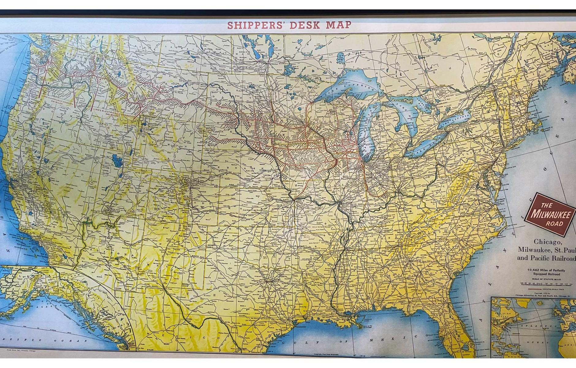
The Milwaukee Road and CNU 35


If you love maps, get ready to love the one pictured above when you attend CNU 35 Twin Cities. It is eight feet wide and shows the entire Milwaukee Road railroad system in its glory in 1954—more than 10,000 miles of line centered on the depot in Minneapolis. And it's on the wall of the Renaissance Depot Minneapolis Hotel, an adaptive reuse of the historic Milwaukee Road Depot complex where this Congress will be headquartered.
I’ve attended more than 30 Congresses and have never seen a better site. The complex covers an entire city block and includes meeting space and two connected hotels arranged around a central courtyard space. It is the right size for the event and will focus the energy of this gathering. It sits in the heart of the Mill District near the Mississippi River, which is a defining feature of the development of both Minneapolis and St. Paul.
Congress attendees will be able to see Saint Anthony Falls (which the Dakota call Owámniyomni meaning whirlpool or turbulent waters), the Mississippi's only natural falls and the most important driver of the economy by powering flour and lumber mills on both sides of the river. Because of its industrial output and central location, the city became a major railroad hub, as shown by the extensive Milwaukee Road Depot map.
While there is more to come on the history and context of the Twin Cities region, know that New Urbanists will love the Depot, the Mill District, Downtown Minneapolis, and St. Paul. The Mill District has a network of small, square blocks, about 300 feet on each side. The rest of the city was planned by projecting miles of street network in every direction, using a rectangular block shape similar to the “Chicago block,” about 250 by 600. This is a classic American block, with an alley, which comprise the urban bones of the city’s great neighborhoods and is highly adaptable to Missing Middle Housing. Saint Paul, immediately to the east, has a similar form. Downtown and neighborhoods alike share the same block size and shape.
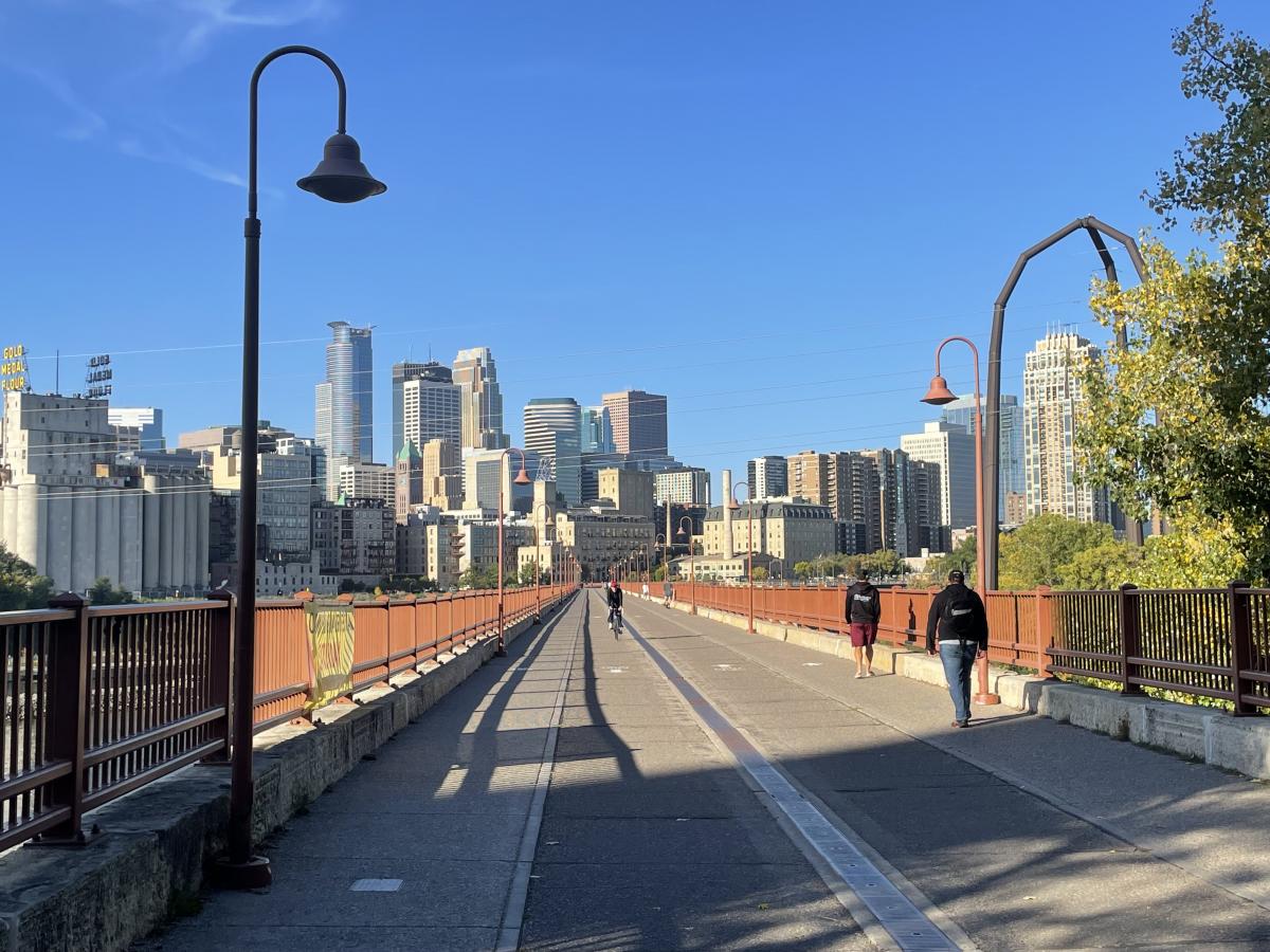
Minneapolis benefited from an 1883 plan by landscape architect Horace Cleveland, who kept the riverfront and lakefronts public and planned a green-space network throughout the city that has become the armature of one of the best trail networks in the US today. Downtown has a great amenity popular with pedestrians and cyclists: the Stone Arch Bridge, an old railroad bridge that crosses just below the falls.
At CNU, we will collectively focus on The Building Blocks of Community: Strengthening Social Bonds through the Public Realm. The call for session proposals is now open, so please review our documentation and submit a proposal by November 26th!